
Seoul Public Transport Guide: Navigating the Subway with Ease
Seoul’s public transport system is exceptionally intuitive and tourist-friendly, despite its complex appearance on the map. You do not need to speak Korean to navigate the city; the subway network features clear English signage, numbered station codes, and automated announcements in four languages. By using a T-money card and reliable navigation apps like Naver Map or KakaoMap, you can travel across the capital region with the same ease as a local resident.
Key Takeaways
- Purchase a T-money card at any convenience store or airport kiosk immediately upon arrival.
- Use Naver Map or KakaoMap for real-time transit directions, as Google Maps lacks granular data for walking and bus routes in Korea.
- Most subway stations now provide multilingual signage and digital kiosks to assist international travelers.
- Recent government initiatives ensure that tourist-specific transit information is now available in multiple languages to simplify your journey.
The Seoul Metropolitan Subway might look like an overwhelming “puzzle” at first glance, but it is intentionally designed for efficiency. Every station has a unique number (e.g., Line 2, Station 201), which acts as a universal language for navigating transfers. You do not need to memorize Korean names; simply follow the color-coded lines and the numbered exits.
For payments, the T-money card remains the gold standard. It is a reloadable smart card usable for subways, buses, and even taxis. Beyond transportation, the digital landscape for tourists in Korea is improving rapidly. For instance, Naver has recently introduced passport-based authentication, allowing international visitors without a Korean mobile number to book restaurants and make digital payments. This integration makes navigating both the streets and the local lifestyle significantly more accessible.

While Google Maps provides basic location data, it is not recommended for turn-by-turn transit directions in Korea due to security restrictions on map data. Instead, download Naver Map or KakaoMap. These apps offer superior accuracy for bus arrival times and pedestrian walking paths. If you find yourself in a complex area like Gwanghwamun during a public event, these apps will alert you to real-time traffic changes or bus detours, ensuring you are never stranded.
For further resources on traveling, you can explore the Korea Tourism Organization website, which offers updated guides on navigating the country’s infrastructure.
Frequently Asked Questions
Do I really need a T-money card, or can I use a credit card?
While some ticket machines accept international credit cards, the T-money card is essential for seamless transfers between buses and subways. It is the most cost-effective and convenient method for tourists.
Are the subway announcements in English?
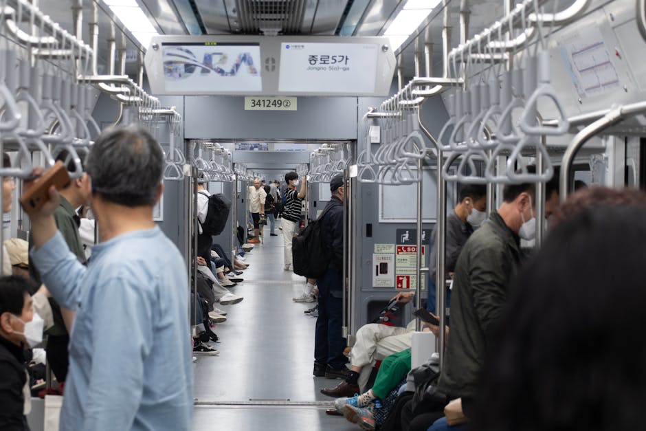
Yes, all major lines provide announcements in Korean, English, Japanese, and Chinese. The LED displays inside the train carriages also show the next stop in English, so you can easily track your progress.
Conclusion
Seoul’s infrastructure is built to prioritize convenience for both locals and visitors. By utilizing a T-money card, relying on local navigation apps, and following the numbered signage, you will find the city’s public transport not just manageable, but one of the most efficient systems in the world.
To report grammatical errors, typos, or request factual corrections, please contact us at CHY011996@GMAIL.COM.